Description
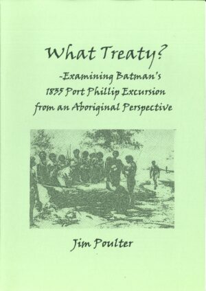
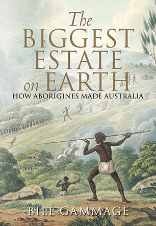
All Australians know that our continent was not ‘Terra Nullius’. However ‘Terra Nullius’ still today remains a lingering infection on our thinking and it continues to insidiously and unconsciously shape our perceptions in negative ways. Few people are aware that Aboriginal people were not ‘hunter-gatherers’ but permaculture farmers.
Using Manningham, a municipality east of Melbourne on the Yarra River as a case in point, the land use patterns existing prior to British colonisation are described. This included grass seed farms on the hilltops, myrrnong farms along the gullies, yabbie and blackfish farms along the creeks, possum farms in copses that were separated by open land, sparsely treed kangaroo and emu farms along the river flats, plus fish, eel, yabbie and freshwater mussel farms along the entire length of the Yarra River.
These land use and living areas were interconnected by Songlines, traditional travel routes that criss-crossed the whole of Australia. Hopefully this mapping begun in Manningham will be replicated in every municipality.
ISBN: 978 0 p49196 34 7
























 239 A'Beckett Street Melbourne, Victoria, 3000
  03 9326 9288
  office@historyvictoria.org.au
  Office & Library: Weekdays 9am-5pm


Book Reviews Reviews
There are no reviews yet.