This detail of a map from 1846 shows a section of the Yarra, and part of the swamp, showing slaughter yards and brickmakers’ establishments clustering along the river bank. Batman’s Hill is home to a powder magazine, a reserve for further slaughterhouses, the temporary offices of the treasury and superintendent, and, surprisingly, a Reserve for a Botanical Garden.
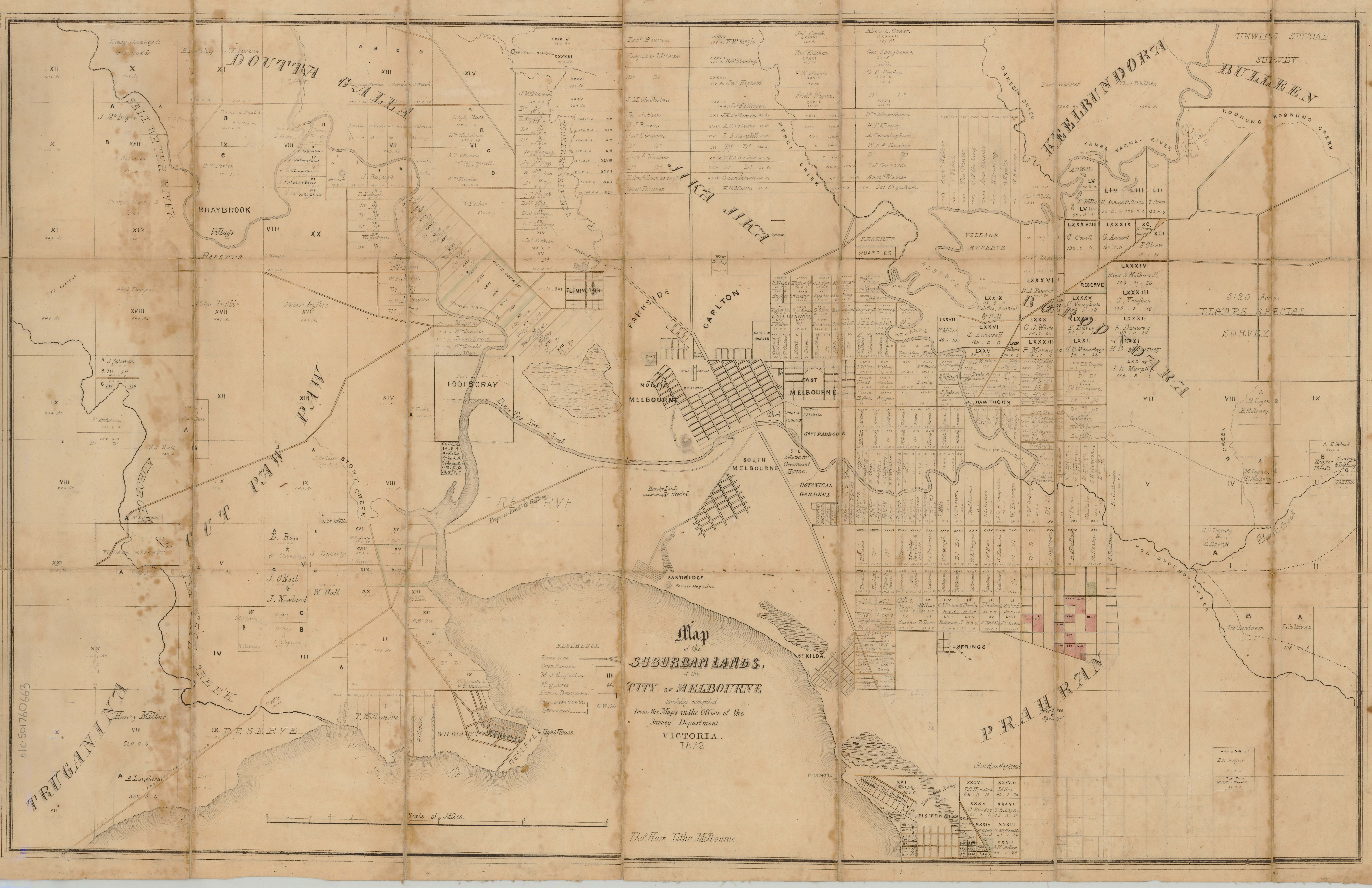
Map of the suburban lands of the City of Melbourne carefully compiled from the maps in the Office of the Survey Department, Victoria, 1852. Ham Bros, Melbourne. Courtesy of the State Library Victoria Collection
While Melbourne and its suburbs developed apace, the swamp to the west of the city still impeded traffic to Williamstown and Geelong. The main route was along Flemington Road, crossing the Moonee Ponds Creek at Main’s Bridge, then following the road that became Mt Alexander Road. Some tracks closer to the swamp could be used in dry conditions.


 239 A'Beckett Street Melbourne, Victoria, 3000
  03 9326 9288
  office@historyvictoria.org.au
  Office & Library: Weekdays 9am-5pm

