- This event has passed.
TALKING HISTORY
October 13, 2019 @ 2:00 pm - 4:00 pm
FreeEvent Navigation

Exhibition: MAPPING GLENELG 1800 -1900
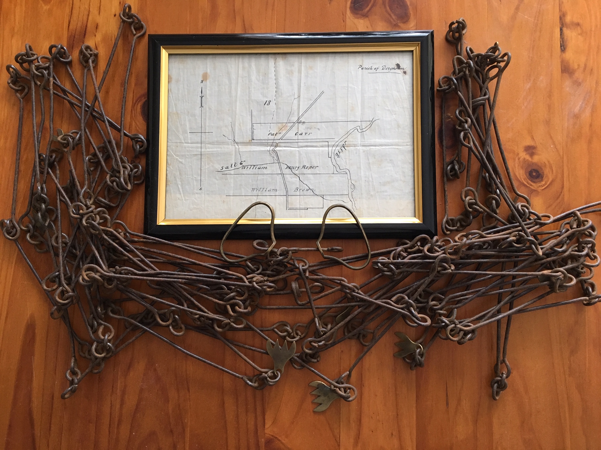
A collection of maps showing charts from the navigators along the coast, 1800-1802; explorers through the district from 1836; squatters on the Glenelg River 1837-1847; surveys for selection after 1860; and Closer Settlement at Wando Vale in 1900. The exhibition also includes hand-drawn maps. One of these is a sketch of the eel weirs at Mt. William by a Djab Wurrung man, requested by Chief Protector George Augustus Robinson in 1841.
Today’s ‘Talking History’ is the story of mapping the border between South Australia and Victoria along the 141st meridian of longitude from 1847-1850.


 239 A'Beckett Street Melbourne, Victoria, 3000
  03 9326 9288
  office@historyvictoria.org.au
  Office & Library: Weekdays 9am-5pm

